Okobo is known for fishing, farming, boat building and trade, and as one of the five local government areas of Oro Nation.
Okobo is a coastal local government area near the Cross River estuary. It was created in 1989 out of the old Oron Local Government. Its headquarters is the old town of Okopedi. It is one of the five local government areas of Oro Nation, with Oron, Mbo, Urue-Offong/Oruko and Udung Uko. Its size is 475.8 square kilometres of rainforest, mangrove swamps and creeks. It is bounded by Uruan to the north-west, Oron to the east, Urue-Offong/Oruko to the south-east and Esit Eket to the south.
The people are Oro. They descend from migrants from Usakedet, now Isangele in Cameroon. The clans are Odu, Eta Atabong, Obughu, Okiuso, Ukwong and Ebighi. There are 66 villages in 11 political wards: Okopedi 1 and 2, Nung Atai/Ube 1, 2 and 3, Akai/Mbukpo/Udung, Eweme 1 and 2, Ekeya, and Offi 1 and 2. The population was 69,433 in 1991 and 102,753 in the 2006 census. It is now projected at over 131,000.
Most people farm or fish. The main crops are oil palm, cassava, yam and maize. The creeks and the estuary give fish, crayfish, oysters, periwinkles and shrimps, and seafood processing is also a source of income. People also build boats and trade in local markets, where farm produce is sold to nearby communities. Roads link Okobo with Oron and other neighbouring areas.
The forests have mahogany and other hardwoods used for boats, canoes and houses, and there is a wide belt of oil palm and raffia. The area also has clay, fine sand, silica sand and gravel, and about 86 crude oil wells off the estuary in the Oron oil and gas area. Ekpe and Ekpo masquerades, boat regattas, traditional wrestling and maiden dances are still part of village life.
What has been done in Okobo
Choose a project to see the details, photos and where it is.
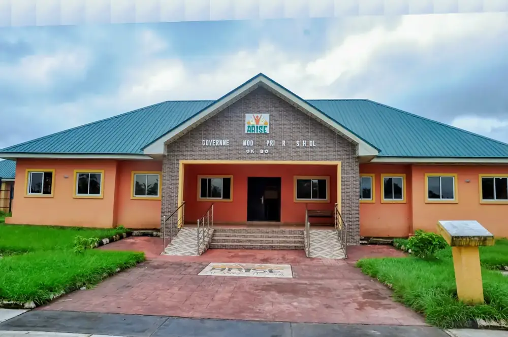
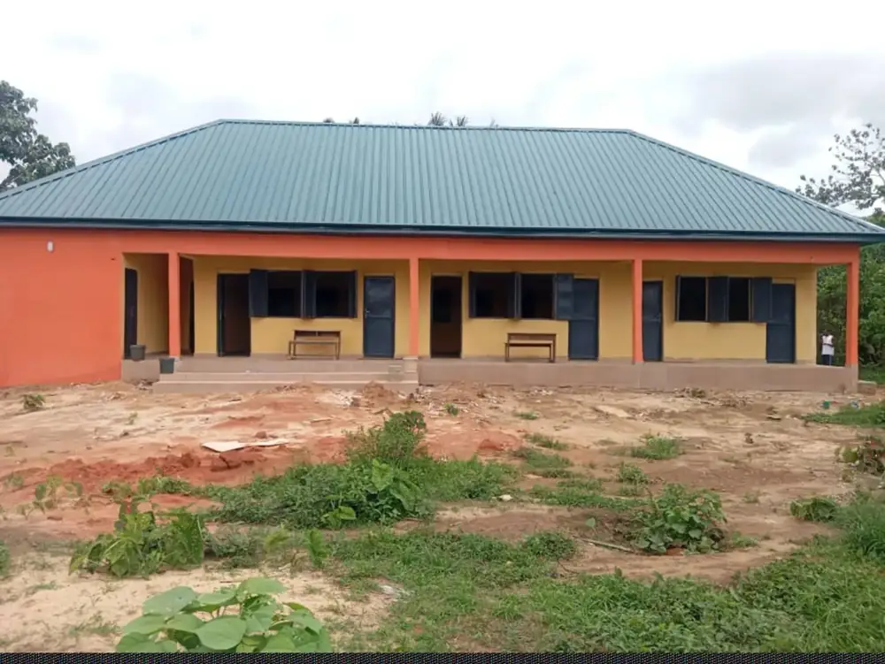
Twelve Compassionate Homes are for vulnerable residents, and two of them are still ongoing. A model primary school has been completed, and three new classroom blocks stand at St Simeon Primary School in Ebighi Ube. A model health centre is under construction and is designed to bring health services closer to residents.
For work and income
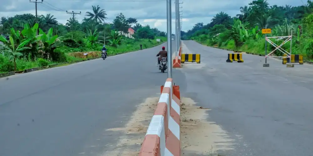
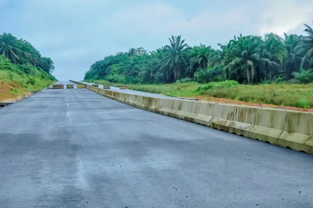
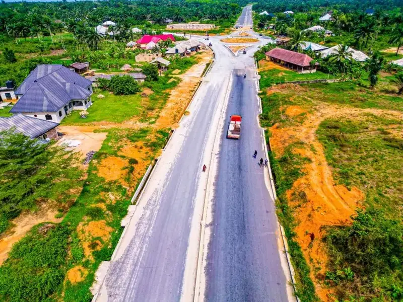
The completed 14.5km dualised road links Okobo with Nsit Atai, and it has opened Okobo to Uyo. The Okobo - Uya Oron Road, under construction, is expected to add another link. A market shed with stalls and two water points were built as constituency projects.
For getting around and reaching services
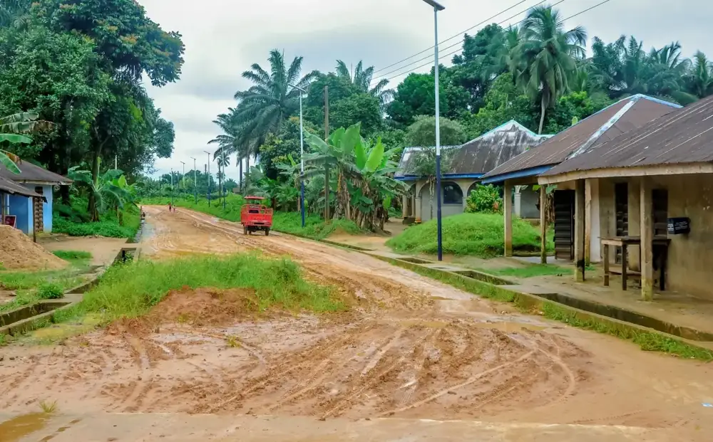
The dualised Nsit Atai - Okobo road is the main completed connection. Other roads, including the Ekeya - Ebighi Odu - Ube - Nda Atiabong - Uruting road, are still awaiting works or a contract. Some communities still have earth roads in poor condition.
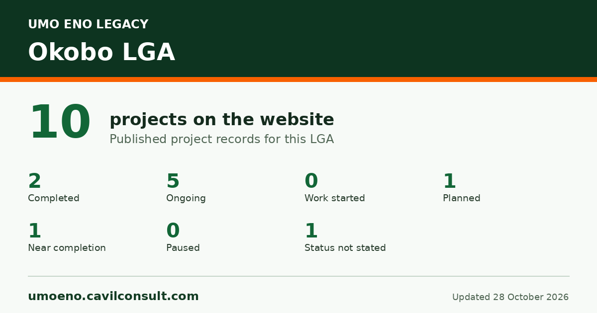
Where the 10 projects stand
Completed 2
Ongoing 5
Near completion 1
Planned 1
Status not stated 1
Development goals these projects support
How many of the 10 projects on this page back each goal.
1No poverty1 of 10 projects
3Good health1 of 10 projects
4Quality education2 of 10 projects
9Industry and infrastructure5 of 10 projects
11Sustainable communities3 of 10 projects
What people say
Stakeholders say the Nsit Atai - Okobo road has opened the land for commerce.
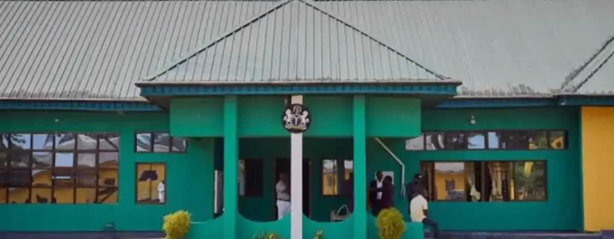
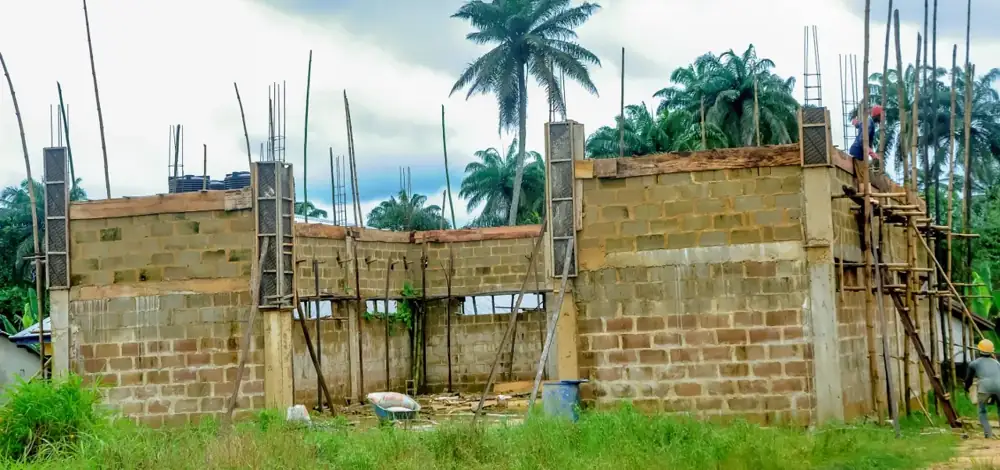
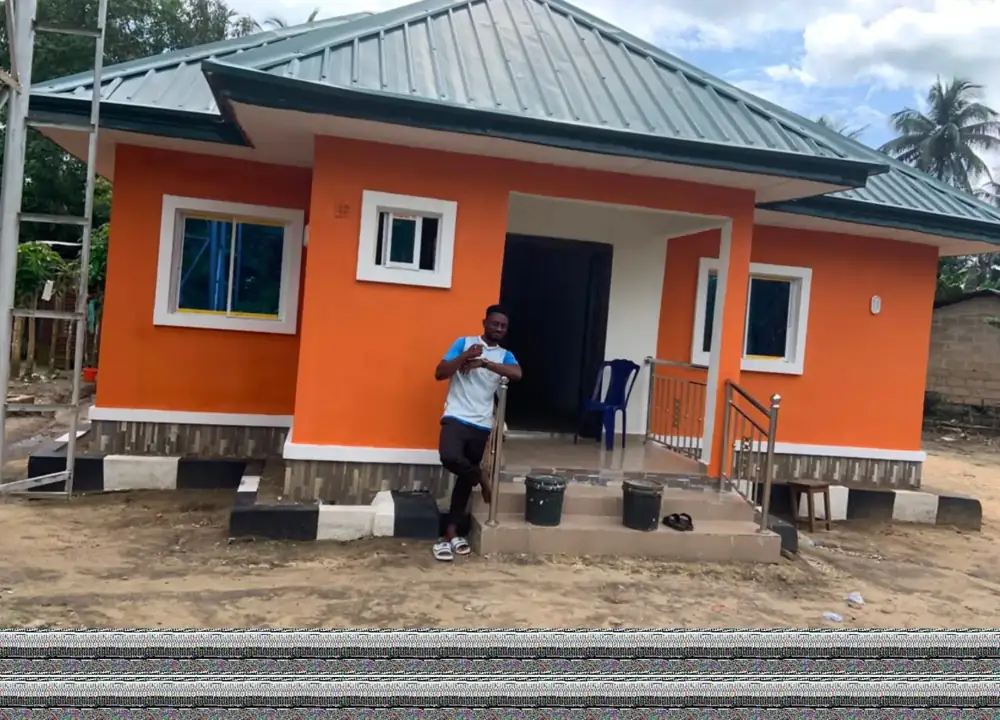
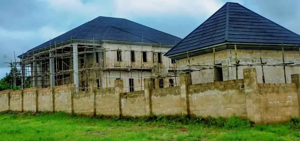
Finished Nsit Atai - Okobo dualised road, central dividerFinished Nsit Atai - Okobo dualised roadDuring work Okobo - Uya Oron Road (ongoing)Finished ARISE Model Primary School, OkoboFinished Three classroom blocks, St Simeon Primary School, Ebighi UbeDuring work Model Health Centre (ongoing)During work Chairman's Quarters (ongoing)Finished ARISE Compassionate HomeDuring work Market shed under construction (constituency project)Finished Market shed in use (constituency project)Finished Water point with raised tank (constituency project)Finished Water point with raised tanks (constituency project)Before Nsie - Offi - Uruting roadBefore Nung Atai - Obufi - Atabong road
Governor Umo Eno
See what is being done near you
Pick your LGA to see roads, schools, health centres and homes, with photographs.