
For families and communities
The road is meant to tie three more communities to Okoroete, where the council headquarters is.
Home / Eastern Obolo / Project
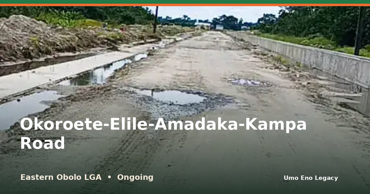
I'm glad to share that work on Okoroete-Elile-Amadaka-Kampa Road in Eastern Obolo LGA is under way. An 8.6km road is under construction through several Eastern Obolo communities.
See the photos and the facts here: https://umoeno.cavilconsult.com/projects/eastern-obolo-okoroete-elile-amadaka-kampa-road/
Does this road make your daily trip easier? Tell me in the comments, and share this with a neighbour so more people can see it.
An 8.6km road is under construction through several Eastern Obolo communities. The work includes earthworks, with drain walls in places.
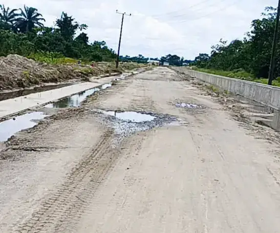
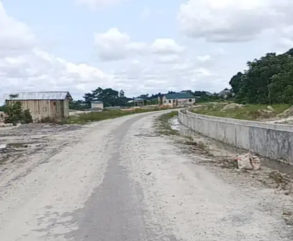
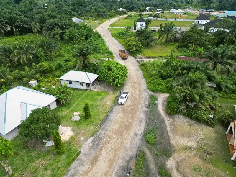
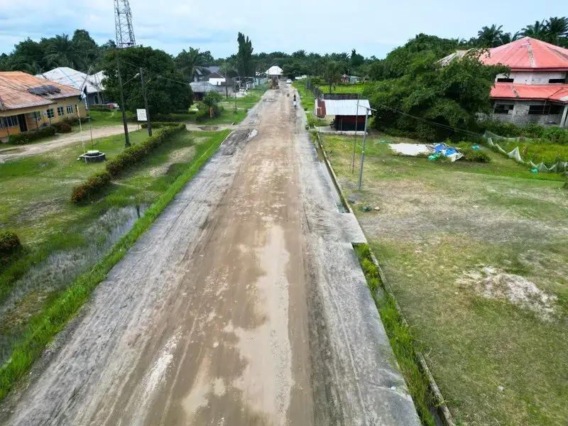
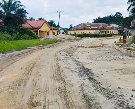
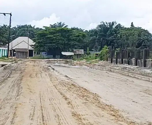
The Okoroete - Elile - Amadaka - Kampa Road is an 8.6-kilometre road under construction in Eastern Obolo Local Government Area. It runs from Okoroete, the LGA headquarters, through Elile and Amadaka to Kampa.
The road is being built by the Akwa Ibom State Government under Governor Umo Eno. Work is ongoing, with earthworks done along the route and drain walls built in places. No contractor or completion date has been announced.
Eastern Obolo is a coastal area where many communities have long relied on poor earth tracks, and earlier road promises in the area were abandoned. When finished, the road is expected to give the people of Elile, Amadaka and Kampa an all-season link to Okoroete for markets, schools, health care and council business, and to help fishermen and farmers move their produce. It fits the ARISE Agenda's focus on rural development.
People and places connected by this project.
Where this project sits among all 8 projects recorded in Eastern Obolo.
An assessment of the impact of these accomplishments on the people and communities.
The road is meant to tie three more communities to Okoroete, where the council headquarters is.
When complete, it can let people in Elile, Amadaka and Kampa carry goods to Okoroete and onward by the Ikot Akpaden road.
Okoroete, Elile, Amadaka, Kampa
The map shows the area. An exact project pin is still being confirmed.
The map loads as you reach this section.
This project supports the goals below. Each figure shows how many of the 429 projects on this portal back the same goal.
Roads and bridges · Awa, Onna
View project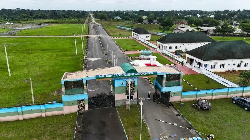
Roads and bridges
View project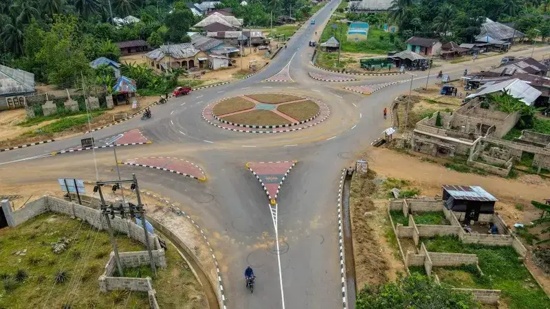
Roads and bridges
View project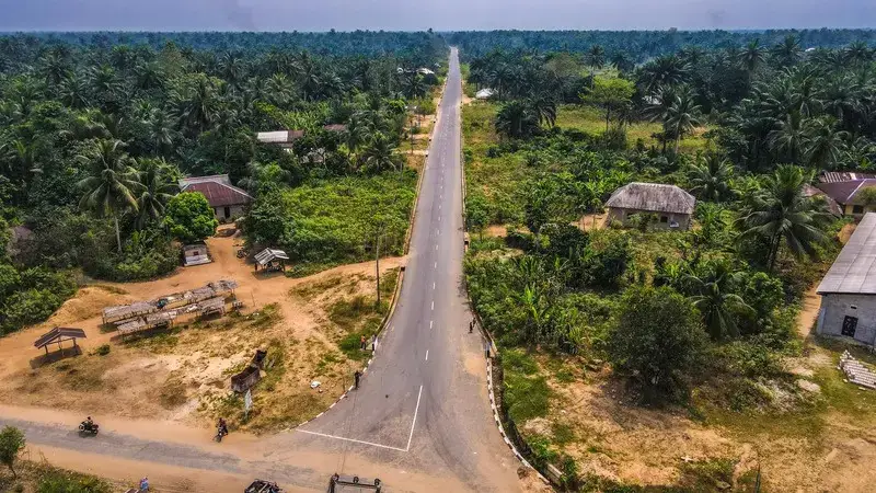
Roads and bridges
View project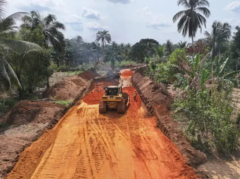
Roads and bridges
View project
Governor Umo Eno
Pick your LGA to see roads, schools, health centres and homes, with photographs.
Choose your LGA