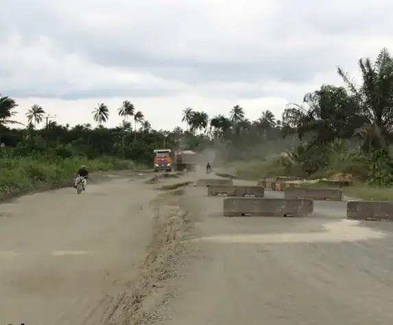
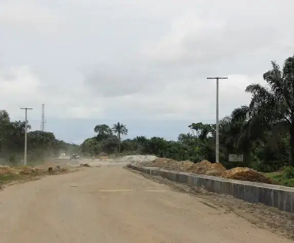
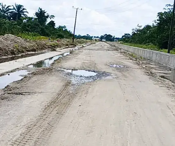
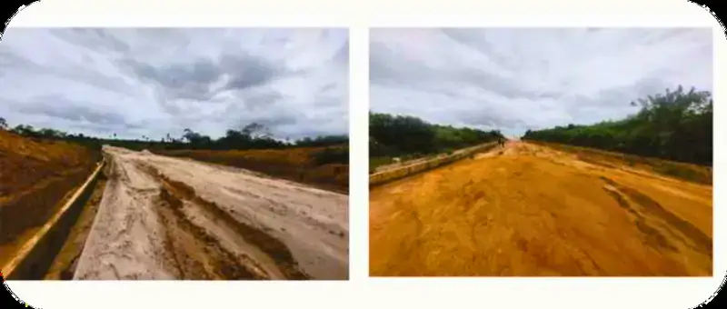
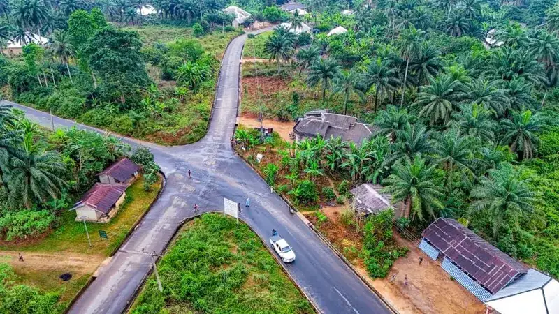
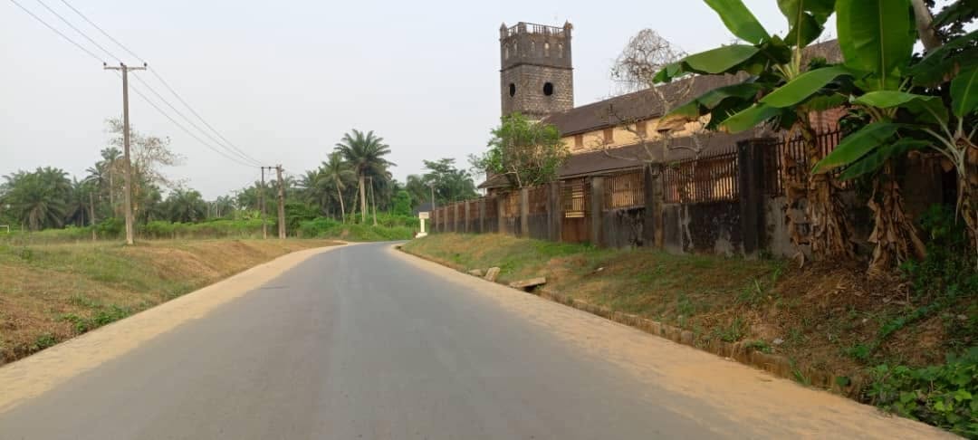
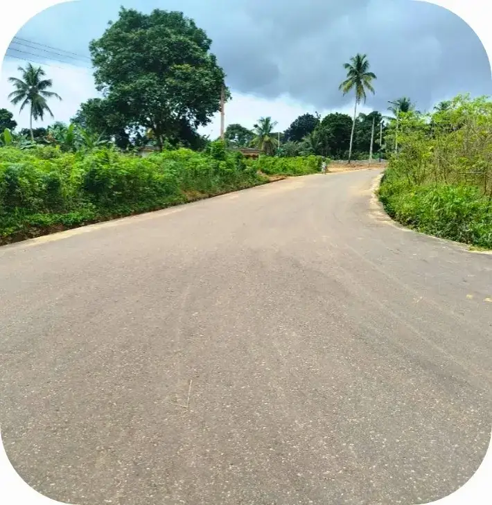
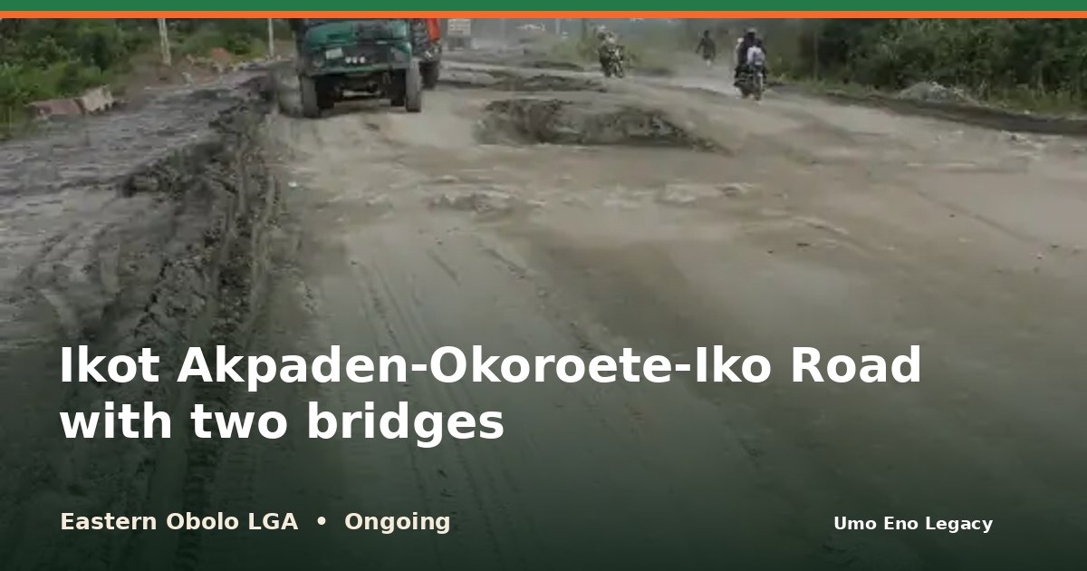
I'm glad to share that work on Ikot Akpaden-Okoroete-Iko Road with two bridges in Eastern Obolo LGA is under way. A 12km road with two bridges links Eastern Obolo to the rest of the state.
See the photos and the facts here: https://umoeno.cavilconsult.com/projects/eastern-obolo-ikot-akpaden-okoroete-iko-road-with-two-bridges/
Does this road make your daily trip easier? Tell me in the comments, and share this with a neighbour so more people can see it.
A 12km road with two bridges links Eastern Obolo to the rest of the state. It is the first intervention in the area and is nearing completion at about 80%.
Reconstruction of the Ikot Akpaden - Okorete - Iko Road with two mini bridges, in Mkpat Enin and Eastern Obolo LGAs
Funding
Included in the N123.5 billion release for mobilisation fees, right-of-way compensation and contractor payments on state road projects
Photos
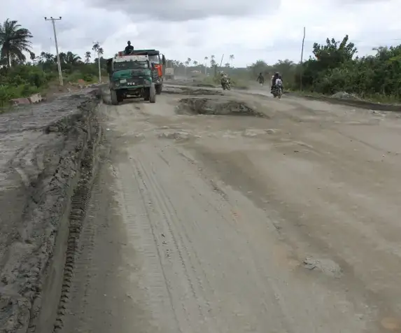
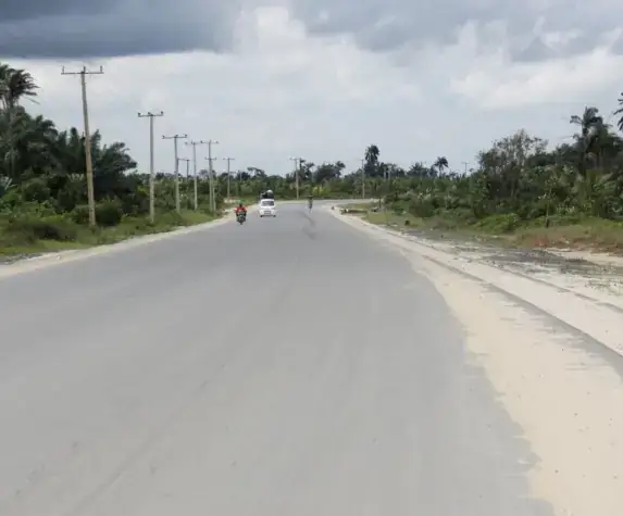
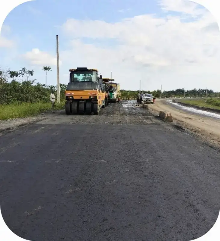
During workLorry and barriers on the unfinished road sectionLong graded road with a concrete drain along one side
About the project
The Ikot Akpaden - Okoroete - Iko Road is a 12-kilometre road with two bridges. It starts at Ikot Akpaden in Mkpat Enin Local Government Area, passes through Okoroete, the headquarters of Eastern Obolo LGA, and ends at Iko, a coastal community in Eastern Obolo.
The road is being reconstructed by the Akwa Ibom State Government under Governor Umo Eno. The Governor chose it after a needs assessment tour of Eastern Obolo, because poor road access was the area's most pressing problem. It was his first project in the LGA. The state has since released funds for contractor payments and compensation on a list of road projects that includes this one.
The road is nearing completion, at about 80 percent. It is not yet finished.
For years Eastern Obolo had very few state-built roads, and earlier road projects in the area were abandoned. When complete, the road is expected to link Eastern Obolo's coastal and fishing communities to Mkpat Enin, the Akwa Ibom State University area at Ikot Akpaden and the rest of the state. It should make it easier to move fish and farm produce to market and to reach schools, hospitals and the council headquarters, in line with the ARISE Agenda's focus on opening up rural areas.
The project at a glance
StatusOngoing
Length12km
Kind of workRoads and bridges
ServesResidents of Okoroete and Iko and 4 more
Project timeline
Plannedannounced or approved
Work startedsite work begins
Ongoingwork under way
Finishedcompleted or commissioned
What was built
12km road
Two bridges
Who it serves
People and places connected by this project.
Residents of Okoroete and Iko
Residents of Ikot Akpaden
Fishing and farming households in Eastern OboloHouseholds
Traders and transport operatorsLocal business
Council staff and visitors to the headquartersWorkers
Where it helps
Trade and income
Movement and access
Housing and shelter
Eastern Obolo LGA at a glance
Where this project sits among all 8 projects recorded in Eastern Obolo.
Completed 2Ongoing 5 (this project)Planned 1
Roads and bridges
2
Schools
1
Health
1
Government and public buildings
1
Water
1
Impact Analysis
An assessment of the impact of these accomplishments on the people and communities.
For families and communities
Eastern Obolo is a coastal area that went without basic infrastructure for most of its existence. A road to Okoroete and Iko is meant to end that isolation and make it easier for residents to reach services in other parts of the state.
For work and income
Once open, the road can make it easier to move fish, farm produce and other goods out of Eastern Obolo.
Project location
Ikot Akpaden, Okoroete, Iko
The map shows the area. An exact project pin is still being confirmed.