
For families and communities
The road is meant to connect the waterside to the rest of Uruan, and the jetty to give boats a safe landing point.
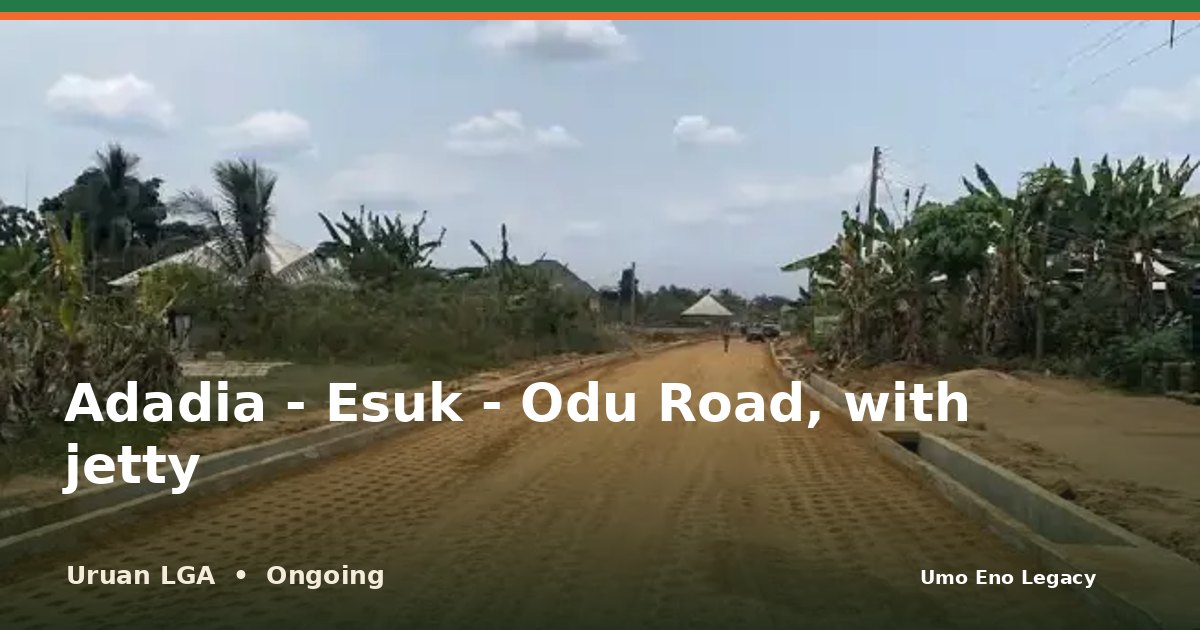
I'm glad to share that work on Adadia - Esuk - Odu Road, with jetty in Uruan LGA is under way. A 3.9km road under construction that includes a jetty.
See the photos and the facts here: https://umoeno.cavilconsult.com/projects/uruan-adadia-esuk-odu-road-with-jetty/
Does this road make your daily trip easier? Tell me in the comments, and share this with a neighbour so more people can see it.
A 3.9km road under construction that includes a jetty. The earthworks are graded, with drains, and a grader is at work.
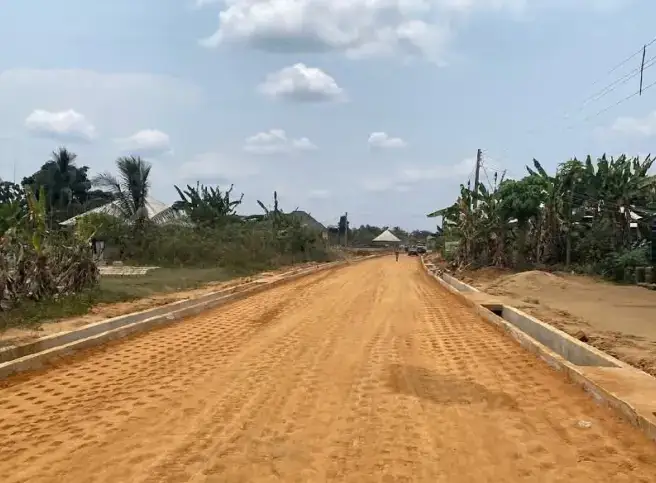
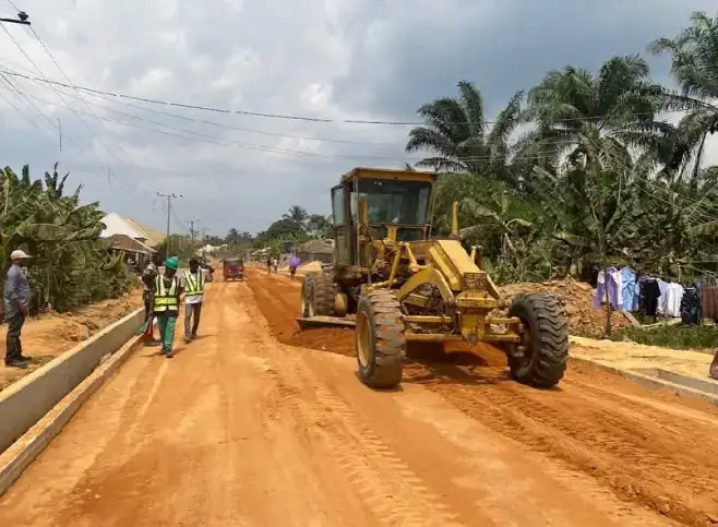
The Adadia - Esuk - Odu Road is a rural access road of about 3.9 kilometres in Uruan Local Government Area. It runs from Adadia through Ekim Enen to the waterside at Esuk Odu, and the project includes a jetty at the beach.
The road is being built under the Akwa Ibom State Rural Access and Agricultural Marketing Project (RAAMP), a programme of the state government with the World Bank and the French Development Agency (AFD). Work is ongoing. The earthworks have been graded and drains are in place.
Esuk Odu beach is known for timber trading and fresh fish. The poor state of the old access road had driven many traders away. The road also leads to oil wells in the area operated by Monopoly Oil Nigeria Limited.
Once complete, the road and jetty are expected to bring traders back to the beach, make it easier for fishermen and farmers to move their goods to markets, and cut travel time for the coastal communities. The project fits the ARISE Agenda's aim of opening up rural and riverine areas for trade.
People and places connected by this project.
Where this project sits among all 16 projects recorded in Uruan.
An assessment of the impact of these accomplishments on the people and communities.
The road is meant to connect the waterside to the rest of Uruan, and the jetty to give boats a safe landing point.
A jetty joined to a road lets fish and other goods move from boat to vehicle in one place.
Inherited from an earlier administration and continued under the Umo Eno administration.
Adadia, Esuk and Odu
The map shows the area. An exact project pin is still being confirmed.
The map loads as you reach this section.
This project supports the goals below. Each figure shows how many of the 429 projects on this portal back the same goal.
Roads and bridges · Uruan, Nsit Atai and Okobo LGAs
View project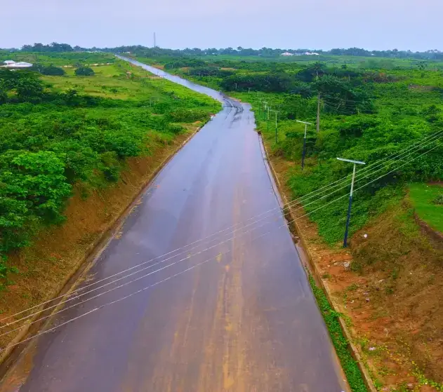
Roads and bridges · Mbiaya Uruan
View project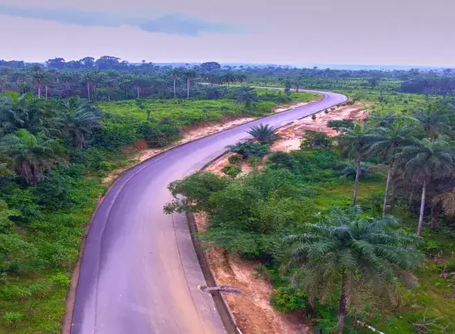
Roads and bridges · Mbiaya Uruan, Idu and Mbiakong Uruan
View project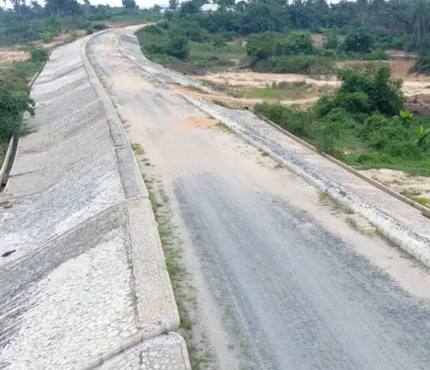
Roads and bridges · Nduetong Oku, Ibiaku Uruan and Ekit Itam
View project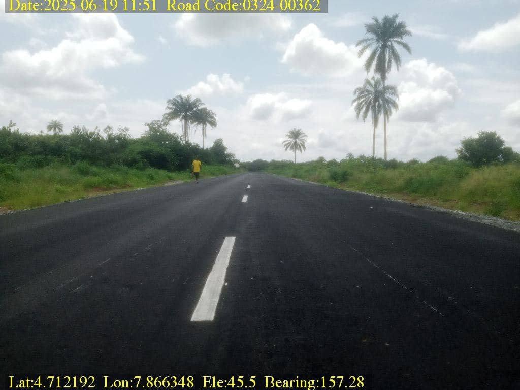
Roads and bridges · Nung Udoe, Ibiaku, Obio Ndobo and Adadia
View project
Governor Umo Eno
Pick your LGA to see roads, schools, health centres and homes, with photographs.
Choose your LGA