
For families and communities
The road is meant to make travel less difficult for people living along the route and to give them easier access to services and to neighbouring LGAs.
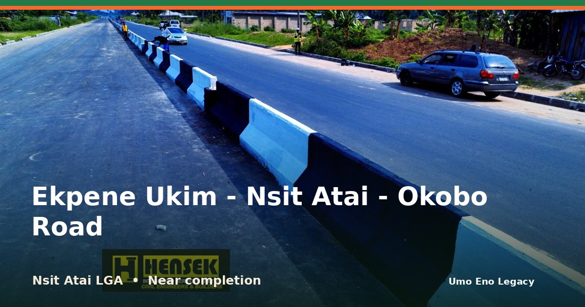
I'm glad to share that work on Ekpene Ukim - Nsit Atai - Okobo Road in Nsit Atai LGA is nearly done. A road corridor that links Nsit Atai communities to neighbouring areas.
See the photos and the facts here: https://umoeno.cavilconsult.com/projects/nsit-atai-ekpene-ukim-nsit-atai-okobo-road/
Does this road make your daily trip easier? Tell me in the comments, and share this with a neighbour so more people can see it.
A road corridor that links Nsit Atai communities to neighbouring areas. The same 14.5km road also appears as completed among Okobo's projects.
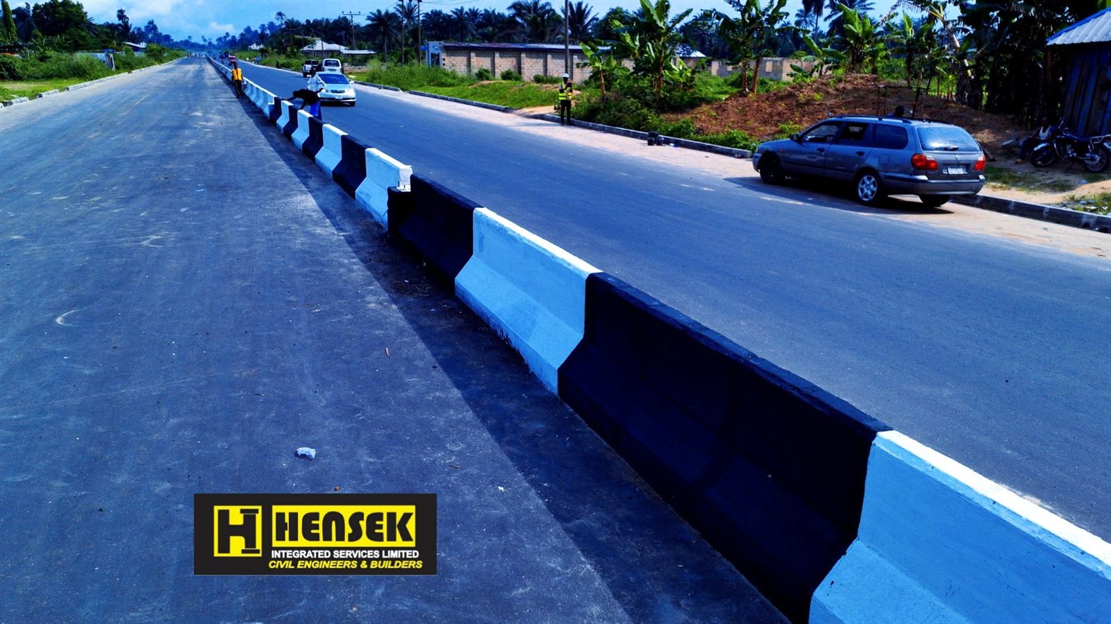
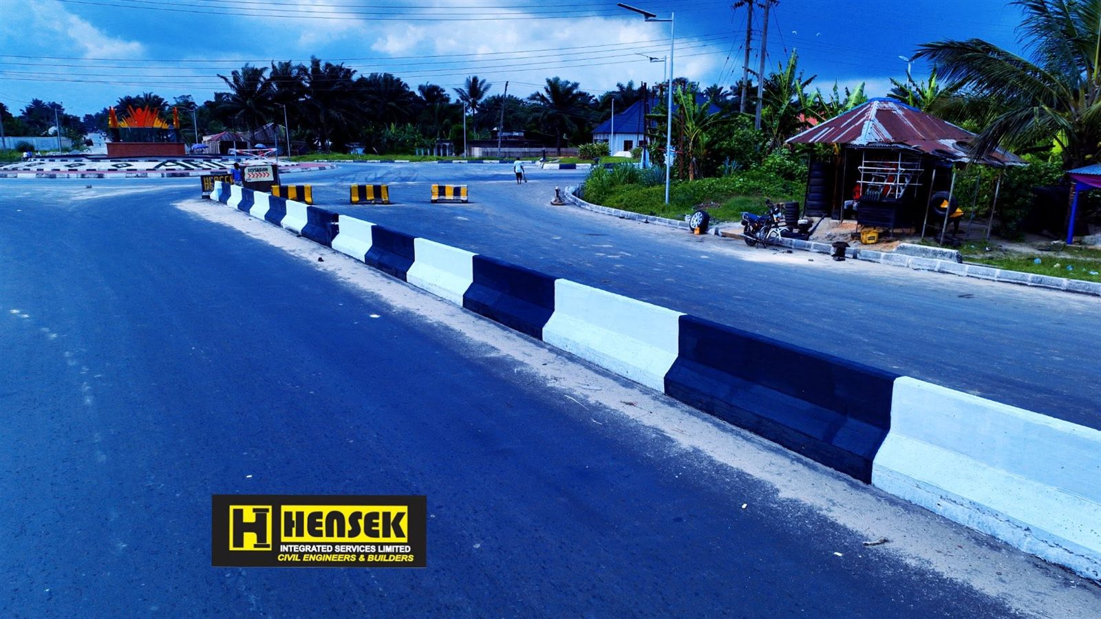
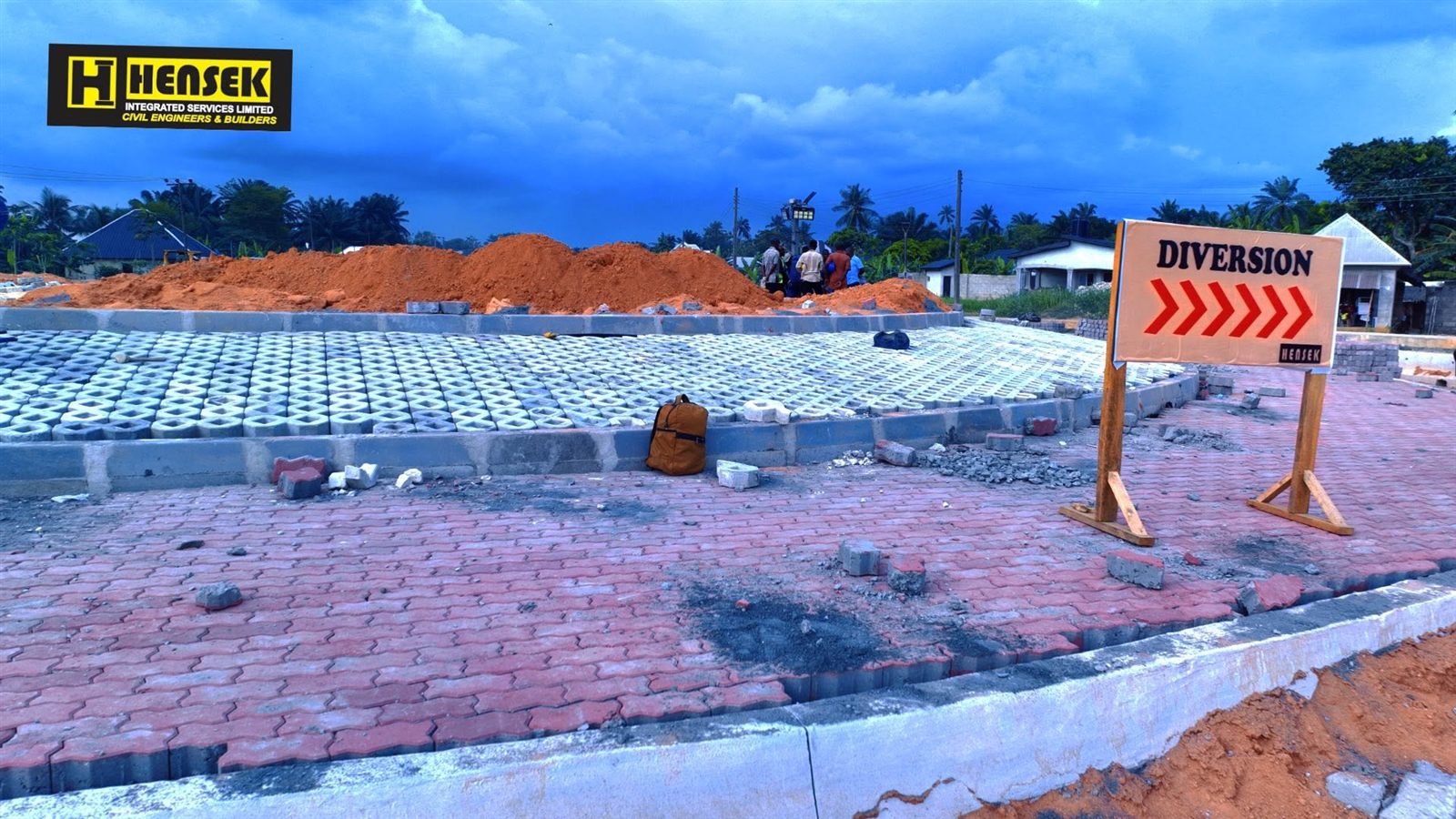
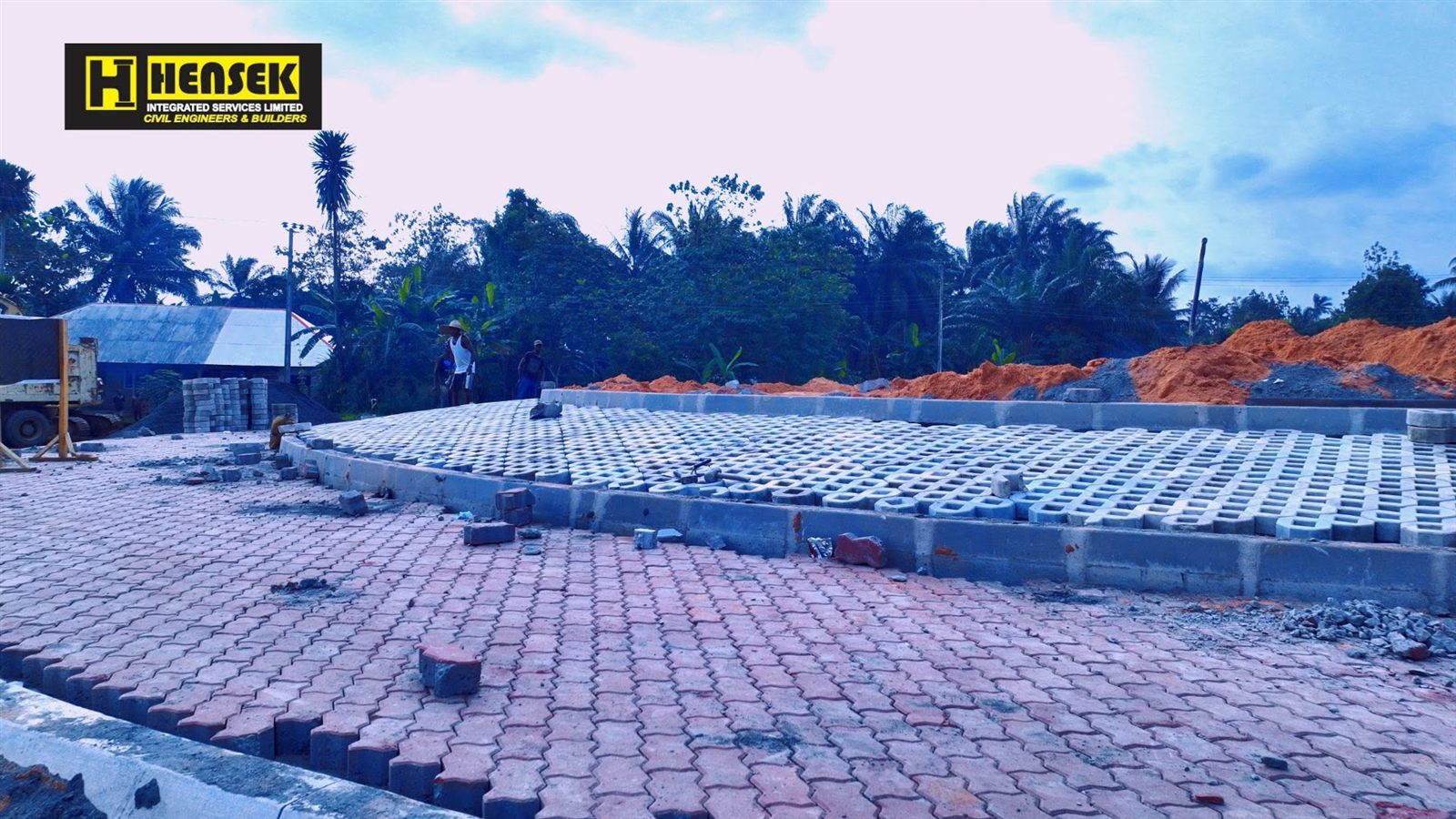
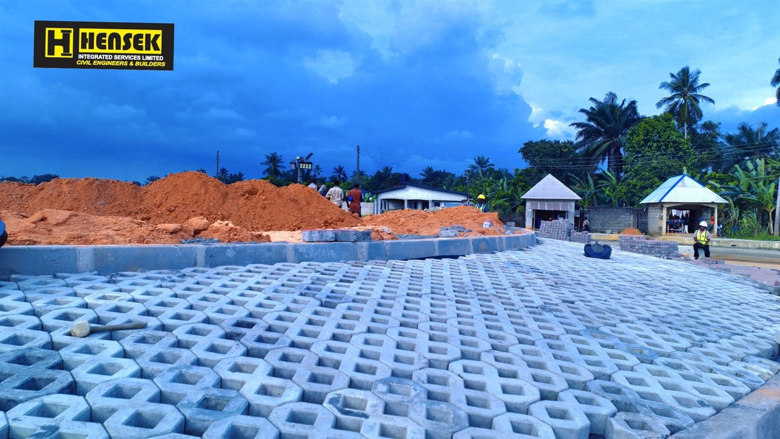
The Ekpene Ukim - Nsit Atai - Okobo Road is part of the road corridor that links Nsit Atai Local Government Area with Okobo and the Oro area beyond it. The main section in use today is the 14.5-kilometre Airport - Nsit Atai - Okopedi - Okobo Road. It runs from the Victor Attah International Airport axis through Nsit Atai to Okopedi in Okobo.
The old route to Oron ran through Ituk Mbang, Ekpene Ukim and Ndon Ebom. It was closed when the airport was built on farmland belonging to Nsit Atai, Uruan and Okobo. A new road through Nsit Atai was planned to replace it. The contract was first awarded in 2006 and changed hands several times without being finished. In April 2024 Governor Umo Eno terminated the existing contract so that the work could be re-awarded.
Under the Akwa Ibom State Government, the road has been rebuilt as a dual carriageway about 22 metres wide. By September 2026 the Nsit Atai - Okopedi section was complete and awaiting formal commissioning.
The road gives people in Nsit Atai and Okobo a direct route to the airport, Uyo and other parts of the state. It is expected to cut travel time and transport costs for farmers moving produce, for fishing communities, and for people going to school, hospital and market. It is part of the ARISE Agenda's work to open up rural and coastal communities.
The road had not been formally commissioned as of September 2026.
People and places connected by this project.
Where this project sits among all 12 projects recorded in Nsit Atai.
An assessment of the impact of these accomplishments on the people and communities.
The road is meant to make travel less difficult for people living along the route and to give them easier access to services and to neighbouring LGAs.
This road is an economic project as well as a transport one. Better roads improve access to markets, help farm produce move and can raise the value of land and businesses along the corridor.
Among Okobo's projects it appears as a 14.5km road completed after being abandoned for over two decades.
Ekpene Ukim, Nsit Atai and Okobo
The map shows the area. An exact project pin is still being confirmed.
The map loads as you reach this section.
This project supports the goals below. Each figure shows how many of the 429 projects on this portal back the same goal.
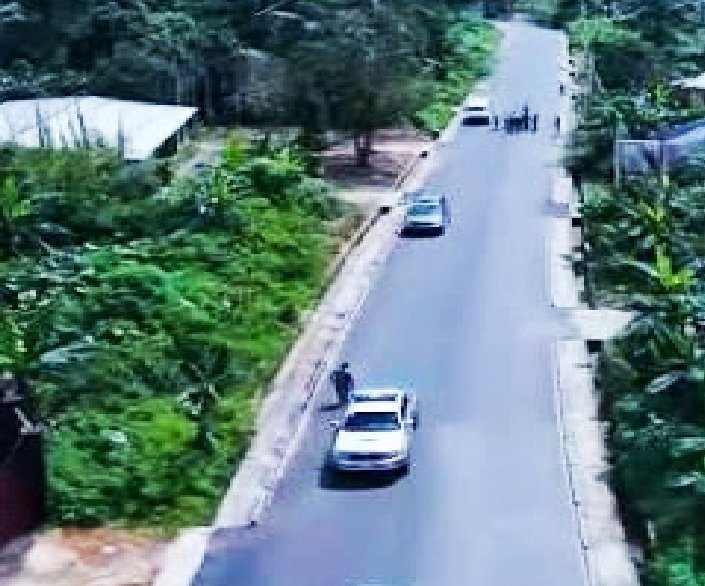
Roads and bridges · Idiaba and Nsit Ubium
View project
Roads and bridges · Ikot Akpabio and Odot
View project
Roads and bridges
View project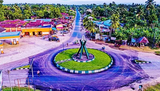
Roads and bridges · Nsit Atai and Nsit Ubium LGAs
View project
Roads and bridges
View project
Governor Umo Eno
Pick your LGA to see roads, schools, health centres and homes, with photographs.
Choose your LGA